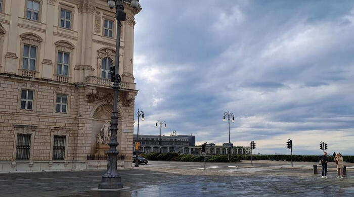
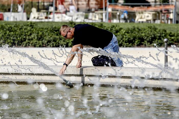
Overcast skies north of the Loire and clear in the south: this situation is typical of the weather in France. However, the opposite is happening now. Since mid-May, almost no raindrop has fallen in the northern part of the country. Conversely, after sometimes months of drought as on the shores of the Mediterranean, days with rainfall, often stormy, follow one another in the south of France.
The situation is all the more remarkable because it is long-term. This is not one or two isolated days but a record situation. Meteorologist François Jobard, of Météo France, recalled last week that, in the case of Paris, we have to go back to 1949 to see a series of three weeks without rain in May and June. This duration is equal this Monday. And the return of the rain is long overdue.
No rain is expected in the next 5 days in Paris, so we will arrive at a series of 21 days without rain (0 mm) in the coming days (from May 16 to June 5 at least). To find 3 weeks without rain in Paris in May / June it will be necessary to go back to 1949. 1/N pic.twitter.com/8fHEx5IQPG
— François Jobard (@Francois_Jobard) June 1, 2023
The cause of this situation is that the France is in a situation of blockage between different atmospheric systems in Europe. This satellite animation provided by The Weather Channel shows how it stands in the middle of different influences.
On these satellite images, we can see the disturbances that bypass the anticyclone centered on Ireland. We also see the formation of cumulus clouds on the southern reliefs. This afternoon, the #averses 🌦 and #orages ⛈ will develop in the south, especially on the... pic.twitter.com/QGd49LDaA6
— The Weather Channel (@lachainemeteo) June 5, 2023
This confrontation between air masses, anticyclones, depressions, low and high pressures plunges the France into an in-between. It is a barometric swamp. One of its main characteristics is that the pressure changes little. It is moderately depressed.
An image can be used to describe this situation, that of a fairly large valley between two mountains. In such a place, the weather can be slow to change, the winds can remain weak. In its definition of the phenomenon, Météo France refers precisely to "a weakly low-pressure region analogous to a plain".
Change of weather this weekend?
Currently, the opposing forces in the middle of which the France is located are an anticyclone in Ireland and a depression in the Mediterranean. This explains the clear skies in the north of the country and the bad weather in the south. In addition, the phenomenon of the barometric marsh is accentuated with the mountainous relief. It promotes, due to pressure differences, the formation of bad weather.
This week, the situation is likely to continue first. Thunderstorms are then expected to disappear by midweek. The general situation could then change for the weekend with the return of rain in the North.