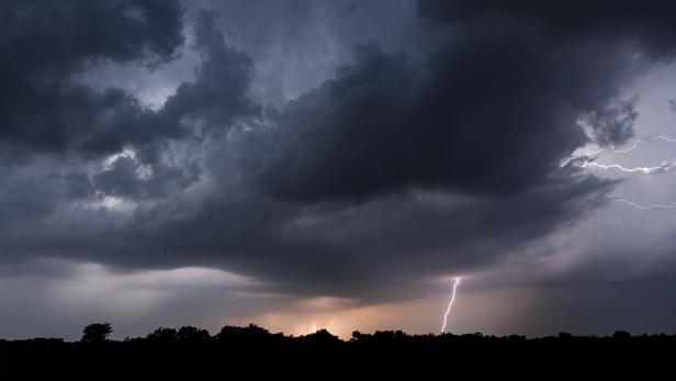
A new wave of thunderstorms will begin at the end of the day in the East and the Center, announces the weather channel *.
After a calm in the morning in Auvergne, the storms will resume before reaching Burgundy then the Alps.
Finally the night will be stormy from the Grand Est to the Jura and the Alps.
To discover
Covid-19: vaccination as the only remedy
Read also: Weather: will violent thunderstorms increase in the coming years?
Twenty-three departments are placed at "
significant risk of thunderstorms
":
Ain
,
Allier
,
Cantal
,
Côte-d'Or
,
Doubs
,
Isère
,
Jura
,
Loire
,
Haute-Loire
,
Haute-Marne
,
Meurthe-et-Moselle
,
Meuse
,
Moselle
,
Puy-de-Dôme
,
Bas-Rhin
,
Haut-Rhin
,
Rhône
,
Haute-Saône
,
Saône-et-Loire
, the
Savoie
, the
Vosges
and the
Territoire de Belfort
.
40 to 60 mm of rain and gusts of winds of up to 60 to 80 km / h are to be feared in the most violent storms.
This stormy wave should move overnight towards the Alsace plain before reaching Germany.
According to the Weather Channel, the stormy situation should improve in the coming days.
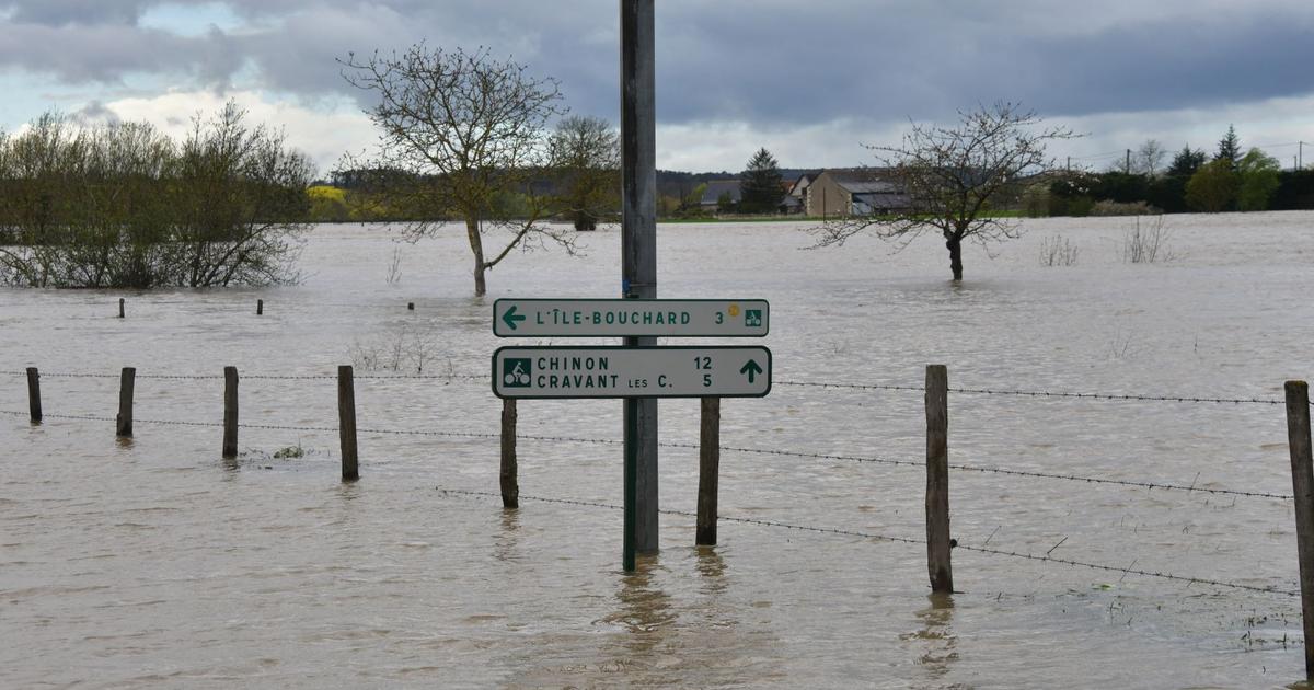
This night, the heavy rains created a mudslide which invaded the streets of Sauvagnat-Sainte-Marthe (Puy-de-Dôme) and caused the partial closure of the A75 motorway.
* The Weather Channel belongs to the Figaro group.