
The anticyclone present above France this Sunday will retreat towards Central Europe, jostled by a depression which crosses the British Isles, according to La Chaîne Météo*.
The disturbance linked to this depression will cross three quarters of the country, bringing lots of clouds and a few showers, and above all a general cooling thanks to the orientation of the wind to the west linked to the arrival of more temperate oceanic air.
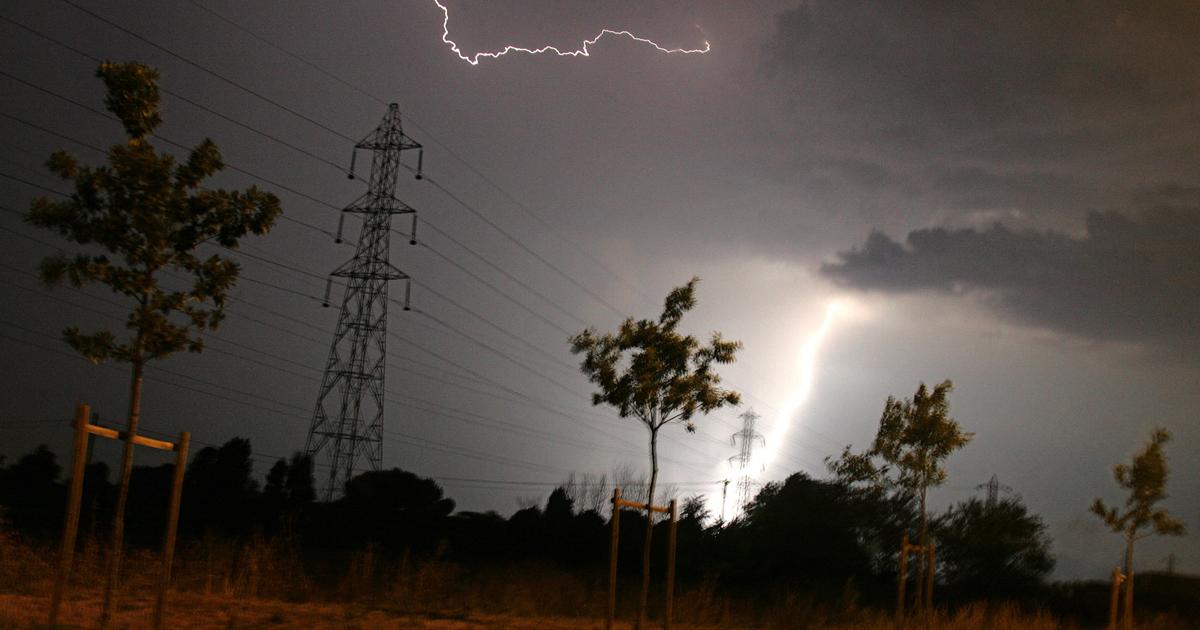
On the other hand, from the Mediterranean to the eastern regions, the very high temperatures will still resist before the storms.
Eight departments are thus still placed on orange alert: Alpes-de-Haute-Provence, Alpes-Maritimes, Ardèche, Bouches-du-Rhône, Drôme, Gard, Var and Vaucluse.
In summary, the west will experience temperature drops of 8 to 10°C compared to Sunday, while the heat wave will persist in the east to the south, with 35 to 38°C in the afternoon.
But diffuse thunderstorms, which may be occasionally strong, are expected in the evening.
The weather in your area
In the
neighboring regions of the Channel
to
Vendée
, after the few showers in the early morning, clearings will then appear under a variable sky and a ventilated atmosphere with gusts at 50 km / h.
From 12 to 15°C in the morning, it will be 20 to 25°C in the afternoon.
From the
Charentes
to the
Ardennes
via the
Paris basin
, after a night that was difficult to bear due to a very heavy atmosphere, the passage of a few rare showers and the orientation of the wind to the west will allow you to breathe well in the afternoon. .
From 16 to 22°C in the morning, it will be 25 to 29°C in the afternoon.
Read also“I understood that it was urgent”: how the heat wave led to ecological awareness
On the Aquitaine basin,
radical change of weather compared to Sunday!
Indeed, low clouds and a few drizzles will scatter the morning.
In the afternoon, the sky will alternate between clouds and clearings and still heat with 30°C on average.
A heat much more pleasant to bear than the 38 to 40°C of this Sunday!
From
Auvergne
to
Lorraine
, after a difficult night due to excessively high temperatures, the sky will become cloudy.
Be careful, because in the afternoon, isolated but punctually virulent thunderstorms are likely to occur.
From 17 to 21°C in the morning, we expect 30°C in the afternoon.
From
Rhône-Alpes
to
Burgundy
and
Jura
to
Alsace
, once again intense heat will be present with 35°C in the afternoon, or even 37 to 38°C due to the Foehn effect in the Alpine valleys.
Then at the end of the day, a few thunderstorms are expected.
Caution: even if they circulate very quickly, these storms may be accompanied by hail and sudden gusts of wind.
From
the middle and lower Rhône valley
to the
Mediterranean
, the sun and scorching heat are again present in the afternoon: up to 40°C from the south of the Ardèche and from the Drôme to the Vaucluse after -midday.
By the sea, the heat will be less torrid (31 to 33°C) but due to the Marin and the humidity brought by this wind, the atmosphere will be moist.
In the evening, watch out for the rising tramontane, which can increase the risk of fires.
The heat continues in the Southeast.
The Weather Channel.
*The Weather Channel is a property of the Figaro group.