
The Israel Meteorological Service published a review on Tuesday of the amount of rain that has fallen over the past two days. The survey shows that the distribution of rainfall was wide and unusual relative to the season.
"This is unusual during the central summer months, but has become more common over the past two decades and has occurred continuously in the last three summers," the service noted.
The weather went crazy: rain in Haifa in the middle of summer
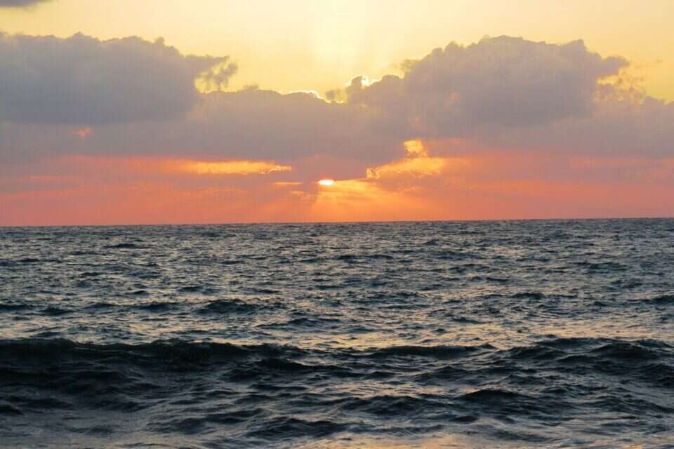
Meanwhile, the weather remains steady with temperatures expected to rise slightly over the next few days, with heat loads somewhat heavier. That increase will end on Saturday, when temperatures will return to average for the season. As far as the Mediterranean is concerned, with the exception of the fifth day, the water will be dangerous for bathing.
Forecast in detail
Tomorrow will be partly cloudy to clear, there will be an increase in temperatures, and the heaviest heat loads will be felt. The Mediterranean Sea will be undulating and dangerous for bathing with waves 70-140 centimeters high.
Thursday is expected to be clear, with a further rise in temperatures, mainly in the mountains and inland. Moderate heat load will prevail in the mountains, moderate to heavy in the coastal plain, lowlands, and northern Negev. Heat loads will be heavy in the northern valleys, the Jordan Valley, the Dead Sea and the Arava. The Mediterranean Sea will be wavy with waves 60-120 centimeters high.
Watch: Pouring rain and water waves in the north at the end of August, photo: Haifa Municipality Spokesperson's Office
Friday will be clear, with no noticeable change in temperatures. The Mediterranean Sea will be dangerous for bathing with waves 70-140 centimeters high.
Saturday will be partly cloudy to clear, with temperatures and heat loads normal for the season. The Mediterranean Sea will be undulating and dangerous for bathing with waves 70-140 centimeters high.
Unusual but familiar
Meanwhile, Director of Climate Services at the Israel Meteorological Service, Dr. Amos Porat, published a special review of the rainfall events over the past two days, according to which it emerges that in the past two days the rains were relatively extensive in scope, and double-digit amounts of precipitation were measured at several stations.
"Waterspout" caused panic,
According to the service, the rain events began yesterday with a strong barrage in Haifa accompanied by a waterband. At the Technion, about nine millimeters of precipitation fell in the morning, most of them within ten minutes. Rain also fell in other parts of the north of the country and stopped only around noon. In the evening, the rains resumed and fell at night on a large scale in the north of the country, and reached Samaria and the southern coastal plain.
Rain was also recorded in the morning, mainly in the Sharon area.
The peak amount of the event was measured in the Jezreel Valley (Ram On and Mishmar HaEmek 11 millimeters), in the Galilee finger eight millimeters (in Metula and Kfar Giladi) and at other stations in northern Israel. Most of the rain fell in the north of the country, but rainfall even in the southern coastal plain (Kfar Warburg three millimeters and Yad Mordechai 2.4 millimeters).
Winter in the middle of summer? Rain on Mount Hermon | Photo: Mount Hermon site
Rainfall in the summer is not unusual and almost every year rainfall is received during this period, but it is usually light and tends to be concentrated near the coast and in the Western Galilee. In the current event, the rains were more extensive and reached inland areas, including the Jezreel Valley, the Golan, the Galilee finger and the Hula Valley. In addition to their widespread distribution, rainfall amounts were relatively large during this period and there were few cases in the past where double-digit amounts were received in July or August.
It is interesting to note that in the past two decades, the incidence of significant rain during the central summer months (July and August) is greater than in the past – since 2006 there have been six such events, including three consecutive in the last three summers. Even during the marginal months of summer, June and September, an increase in the frequency of rain events can be seen. However, this does not indicate a change in the rainfall regime and a shift to rainy summers in the future.
Wrong? We'll fix it! If you find a mistake in the article, please share with us