Winter breaks record • By 17:00, 80 mm were measured in Haifa, 71 in Dalton and 65 in Katzrin • In the evening hours the storm is expected to reach the center • And what is the forecast for the coming days?
Photo: Joshua Yosef
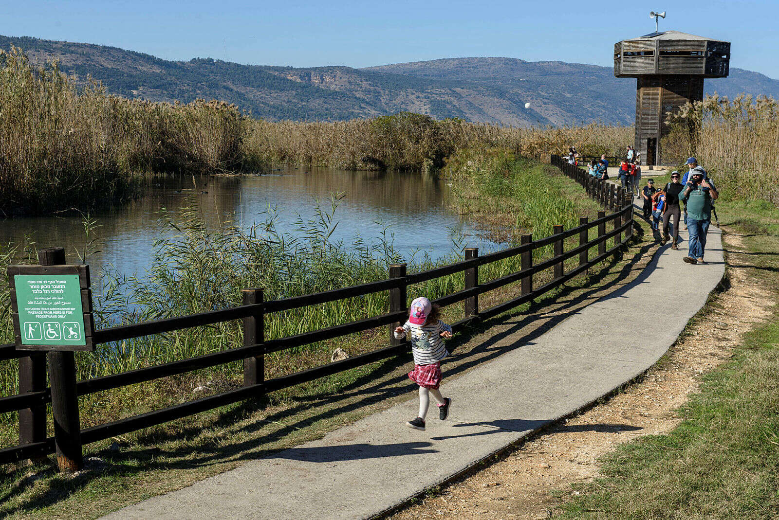
The winter system currently affecting Israel is expected to last through the weekend, and it is already possible to note that significant amounts of rainfall have been measured. By 5pm today (Wednesday), 91 mm of degree of rainfall was measured, 80 mm in Haifa, 71 mm in Dalton, 65 mm in Katzrin, 64 mm in Acre, 53 mm in Elrom, 33 Mm in Ganoser, 12 mm in Nahalal, 7 mm in Zichron Yaacov, 6 mm in Kfar Saba, 5 mm in Netanya, 3 mm in Tel Aviv and Jerusalem, only 1.5 mm of rain was measured.
The meteorological service said the storm would reach the center in the coming day, and the Tel Aviv area is expected to drop from 60 to 100 millimeters. As a result, there was heavy concern about flooding in the city and across the Dan region, as happened in the previous rainfall earlier this month.
Huge flooding in Nahariya // Photo: Nahariya Municipality, police spokeswoman
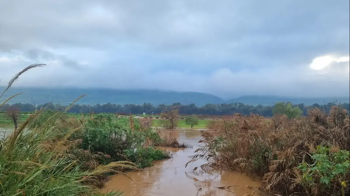
Earlier today, the Gaaton stream overflowed, causing flooding in Nahariya. Following the flooding, searches began for a man who was swept away by a flood near Nahariya, and was eventually spotted without a life-spirit near a marina in the city. The slain was swept away in the flood, along the Gaaton stream, for tens of meters while helping to rescue his family and other residents. In the streams of Beit Haemek, fertilizer, snail, hexagons and Jordan sources, flows are measured at high intensities.
Heavy rainfall will continue to decrease in the current system in the north of the country, and in the next few hours the rain is expected to add to the center, and further down the southern coastal plain. Heavy rainfall is expected along the coast. Therefore, from mid-evening, moderate to high flows are expected in streams from the north of the country to the northern Negev. Flooding in rural and urban areas is expected.
The storm that is continuing to move is expected to reach the center in the evening. Medium to high intensity flows are expected in streams from the north of the country to the northern Negev, and there is a high likelihood of flooding in the northern Judean Desert, and a medium to low likelihood of flooding in the south. Significant flooding is expected in rural and urban areas.
Flooding in Haifa // Photo: Michelle Dot Com
Tomorrow it was raining in the northern parts of the country and in its center accompanied by thunderstorms. On the coastal plain and in the lowlands there is a great fear of flooding and in the northern Negev local rain is expected. In the Jordan Valley, the Judean Desert and the Dead Sea, there is fear of flooding. Winds will weaken and the northern Golan Heights are expected to snow.
On Friday it will be partly cloudy to cloudy and will be colder than usual. Local rainfall is expected in most areas of the country and there is a slight fear of flooding in the southern and eastern rivers. On Saturday it will be partly cloudy to cloudy and the temperature will rise slightly, but will still be colder than usual. On Sunday it will be partly cloudy to cloudy with no change in temperatures.