After a long, very hot phase, a
polar air mass from Sweden
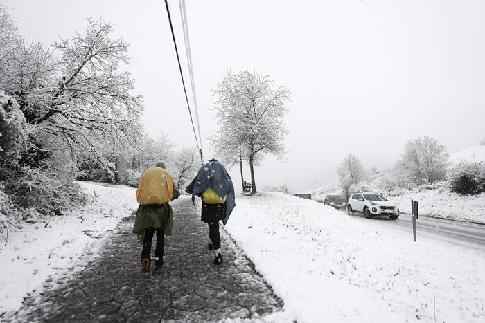
is about to arrive with a thermal collapse of 10-12 ° C, starting from the North.
Later, even in the Center-South, temperatures will drop significantly: the news is that, after this phase called '
Viking
' due to its Scandinavian origin, an anticyclone will return with a
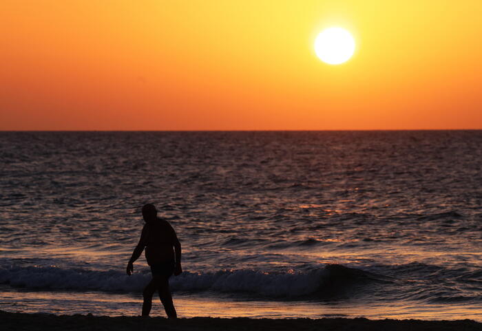
new even warmer African period
.
This is a projection for half of next week, therefore still to be confirmed, but according to
ilmeteo.it
at the moment the
temperature swing seems exceptional
: from 35 ° C to 15 ° C then again up to 38 ° C.
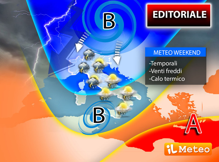
As reported by the director and founder of the site Antonio Sanò, on Saturday there will be the first significant change with the arrival of
strong Bora winds
and intense showers on the Triveneto in the morning, extending towards the North-West and Central Italy.
The strong wind will be a protagonist of the weekend in the North and on the Adriatic belt, together with the
thunderstorm phenomena also locally associated with hail and gusts of wind
.
An unstable Saturday even in the South due to the arrival of a cyclone from Sardinia: thunderstorms expected especially in Sicily.
Sunday
, the last of May, will see a greater probability of showers,
short but locally intense
, on the central regions in an exceptional thermal context over most of Italy: in the Po Valley,
from Bologna to Turin, autumn maximums of 15 / 18 ° C.
Even in the Center, values between 19 and 24 ° C are expected, only in the South it will resist a bit of heat with peaks of 28 ° C on the Major Islands.
IN DETAIL
Friday 27.
In the North: more unstable on the hills, sun elsewhere.
In the center: scattered clouds with local showers on the reliefs, rainfall in southern Sardinia.
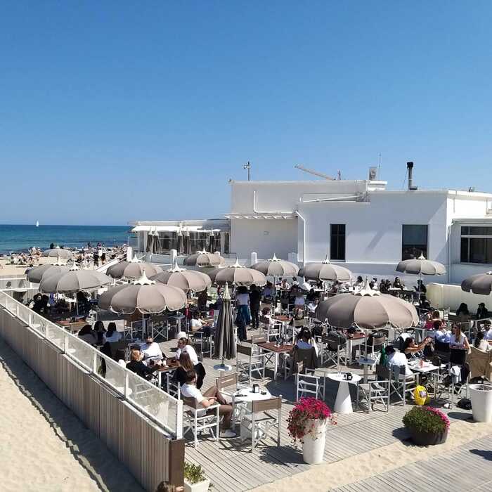
In the South: sunny and very hot.
Saturday 28.
In the North: storms coming in from the Triveneto extending towards the West, strong wind.
Center: scattered clouds with local showers from the afternoon, residual rainfall in Sardinia.
In the South: worsening starting from Sicily towards the East.
Sunday 29.
In the North: lots of clouds, less rain, but with decidedly low temperatures for the period;
strong wind.
Center: unstable with frequent showers alternating with bright spells, dry in Sardinia;
thermal drop.
In the South: unstable with frequent showers, thermal drop.
Trend.
Return of the African heat next week with very high values, up to 36-38 ° C.