After the short unstable interlude of the weekend, in the course of the week that has just begun, we will see the
return of the African anticyclone all over Italy
.
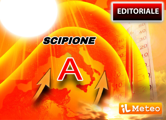
This time it will be up to
Scipio
who could be even stronger than
Hannibal
, his predecessor.
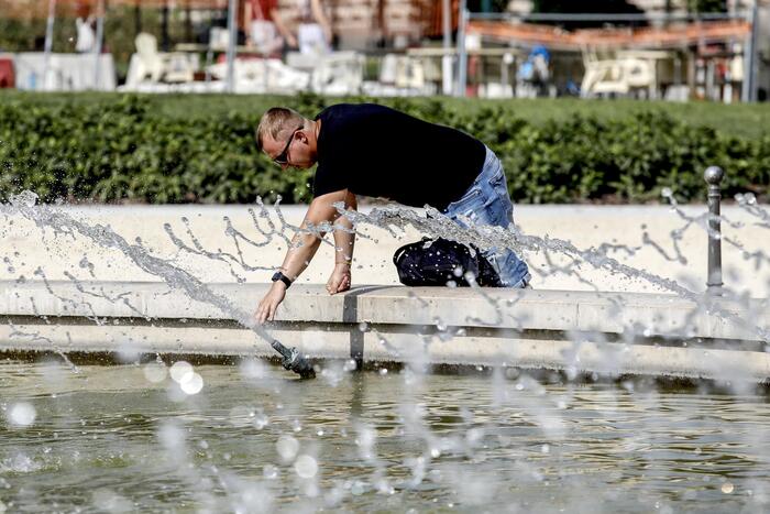
For this start of the week, really high temperature peaks are expected.
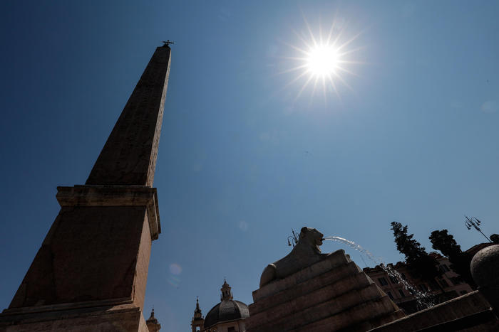
According to iLMeteo.it, the deepening of a cyclonic vortex between England and Portugal will substantially give free rein to the return of the sub-Saharan anticyclone throughout our country, which will be red-
hot for several days
: the maximum values could touch peaks of 37 / 38 ° C in the shade in many locations, even going up to 40 ° C in the inland areas of the major islands.
Compared to the anticyclone Hannibal,
Scipione could be decidedly warmer
for two main factors.
First of all, because the air is already quite hot after the advent of Hannibal: temperatures will rise on land and especially on a sea that was already much warmer than 20 days ago.
Secondly, because the deep descent of the cyclone from the United Kingdom towards the Iberian Peninsula will activate a kind of conveyor belt of hot air from the sub-Saharan areas towards Italy, full of energy and humidity.
From Wednesday 1 June
the anticyclonic comeback will become even more impressive: we will not only have good weather conditions practically everywhere, but we will also record high pressure values and maximum temperatures,
up to 37/39 ° C
: at the moment the most affected Italian sectors would seem those of the
Center-South
and the two
major islands
, but also the
Po Valley.
If in the North the hot and humid phase does not prevent the development of
strong afternoon thunderstorms
over the Alps, in the Center-South Scipione could dominate unchallenged for at least 5/6 days,
even reaching 40 ° C on the extreme southern regions and on the two islands. greater
at the turn of the next weekend, when the North could instead be reached by more unstable Atlantic currents, most likely heralds of rains and thunderstorms.
IN DETAIL
Monday 30:
In the North: many clouds, some scattered showers;
fresh.
Middle: improvement but with some downsides, fresh.
In the South: sunny and warm.
Tuesday 31st:
In the North: many clouds, unstable on the hills and in Emilia Romagna.
In the Center: good weather prevailing.
In the South: all sun.
Wednesday 1st:
In the North: afternoon thunderstorms in the Alps, sun elsewhere.
In the Center: all sun in an increasingly warmer thermal context.
In the South: good weather prevailing.
Trend
.
The African anticyclone expands with ever greater determination, heat peaks up to 38/39 degrees in the Center-South.
Afternoon thunderstorms over the Alps.