In the next three days we will reach the peak of heat caused by the African anticyclone Apocalypse4800
.
We remind you that this name was not given by chance: in fact,
4800 indicates the unusual altitude that has reached thermal zero in the last few days
, that is, the altitude at which temperatures of 0 ° C are recorded in the free atmosphere, never like this high.
This means that even on the highest peaks in Europe, on the top of Mont Blanc (at 4809 meters) the ice melts;
being the peak of the Alpine arc, therefore, it goes without saying that all the Alps are at risk of ice melting.
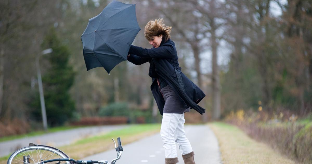
Until Monday, therefore, the heat will be felt, and how, even at night
.
If the maximum values reach peaks of 39/40 ° C in the Po Valley, in the inland areas of Sardinia, Sicily, Puglia and between Lazio and Umbria, from the sunset we will experience the terrifying tropical nights (climatic indicator introduced by the World Meteorological Organization , which identifies them as nights when the temperature never drops below 20 ° C).
In many regions, night temperatures will remain well above 22/23 ° C, even still close to 30 ° C at midnight
.
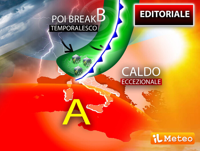
Antonio Sanò, director and founder of the site www.iLMeteo.it warns that there will be no major shocks in the forecasting field.
The sun will prevail over all the regions,
but he warns that there will be strong thunderstorms (Saturday) in the Alps (especially in the Triveneto area)
.
It will be precisely the thunderstorms that starting from Tuesday 26 will become the protagonists of the time
, at least in the North;
in fact, cooler air from Northern Europe will weaken the anticyclonic shield and, mixing with the pre-existing hot air, it could give rise to violent storms with hail that, in patches, will hit the northern regions.
After the stormy passage the winds will blow from the northern quadrants, so as to mitigate the great heat.
Temperatures in many regions will be less hot and definitely a little more bearable.
IN DETAIL
Saturday 23. In the north: severe thunderstorms in the Alps, sun and scorching heat elsewhere
.
In the center: sun and intense heat.
In the south: sun and heat.
Sunday 24.
In the north: more clouds in Liguria and the Alps, sun and heat.
Middle: warm good weather.
In the south: getting hotter.
Monday 25
.
In the north: sunny and hot, it gets worse in the late evening.
Middle: good weather.
In the south: sun and heat.
Trend.
Worsening weather in the North with violent storms, the heat decreases